Exposure Mapping
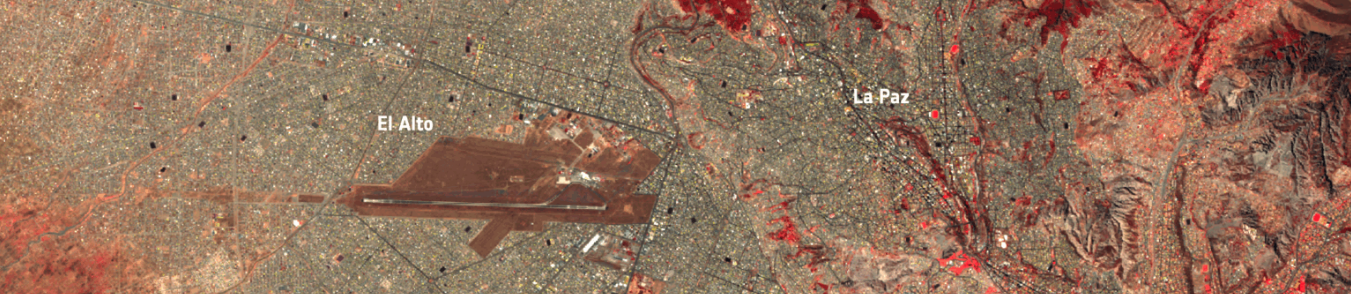
The Exposure Mapping section provides two Earth Observation services to accurately map urban characteristics and economic assets. The output layers when overlaid with vulnerability and hazard data can support all kind of disaster risk and impact assessment. In addition, proprietary layers are made available in the platform for usage in one of the services and direct exploitation from the end user.
Exposure Mapping services
Economic Value Mapping
The Economic Value Mapping (EVM) service focuses on exploiting multisource geospatial, statistical and economic information to accurately map the economic value of assets. The products of this service can support impact and risk assessment when properly overlaid with vulnerability and hazard information, thereby aiding in mitigation strategies and decision-making.
Access the EVM service information:
Ecosystem Services Value Mapping
The Ecosystem Services Value Mapping (ESVM) service estimates the economic value of natural ecosystem functions within a user-defined Area of Interest (AOI). It combines Earth Observation data with biophysical models and cost parameters to produce high-resolution maps expressed in USD/m²
Access the ESVM service information:
Population Distribution
The Population Distribution (PD) service to provide high-resolution population density estimates, by leveraging the layers World Settlement Footprint Tracking, Imperviousness, 3D (built-up height data) and user-provided reference total population counts per administrative units.
Access the PD service information:
Ancillary layers
World Settlement Footprint Tracker
The DLR's World Settlement Footprint Tracker (WSF Tracker) layer provides high-frequency high-resolution settlement extent growth maps for the entire LAC region.
Access the WSF Tracker layer information:
World Settlement Footprint 3D
The DLR's World Settlement Footprint 3D (WSF 3D) layer provides high-resolution building height estimates for urban areas across the LAC region.
Access the WSF 3D layer information:
World Settlement Footprint Imperviousness
The DLR's World Settlement Footprint Imperviousness (WSF Imperviousness) layer provides estimation of the percent impervious surface (PIS) across urban areas, derived from Sentinel-2 imagery.
Access the WSF Imperviousness layer information:
WSF Imperviousness specifications
Copernicus Context
In addition to the Sentinel missions, the Copernicus programme provides services that support disaster risk and impact assessment through high-resolution exposure mapping. These services are delivered primarily via the Emergency Management Service (CEMS) and the Global Human Settlement Layer (GHSL).
Copernicus Emergency Management Service (CEMS)
The Copernicus Emergency Management Service (CEMS) provides geospatial information to identify and analyze elements at risk, including:
- Buildings and infrastructure
- Population distribution
- Land use and land cover
These datasets support risk assessments, emergency planning, and post-disaster recovery. Details concerning the CEMS are provided in the Annex.
Global Human Settlement Layer (GHSL)
Developed by the European Commission’s Joint Research Centre (JRC), the Global Human Settlement Layer (GHSL) offers globally consistent, EO-derived datasets such as:
- GHS-BUILT-S2: 10 m resolution built-up presence probability map (2018).
- GHSL-POP: Gridded population estimates aligned with built-up areas.
- GHSL-BU-H: Average building height at 100 m resolution.
- GHSL time series: Built-up surface evolution from 1975 to 2030.
These datasets are freely available and support exposure analysis, urban planning, and sustainable development monitoring.