Geological Hazard
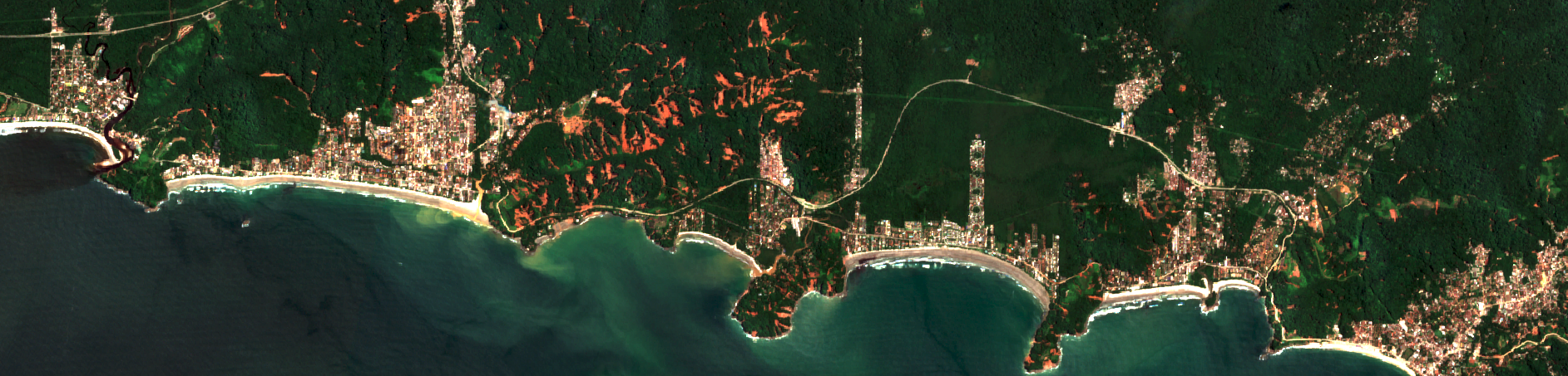
For the Geological Hazard theme, the CopernicusLAC Platform offers a suite of Earth Observation services designed to support geological risk management through the monitoring and analysis of ground motion through SAR Interferometry. Machine Learning applied to multiple data sources is also exploited to extract the likelihood of landslide occurrence and its potential hazard, per pixel and per geotechnical unit.
Landslide service
Landslide Susceptibility and Hazard Mapping
The Landslide Susceptibility and Hazard Mapping (LSHM) service estimates landslide likelihood and potential hazard, identifying areas prone to landslides based on geological factors, ancillary historical data and SAR Interferometry-derived average terrain motion rates.
Access the LSHM service information:
Terrain Motion services
kinesIS
The kinesIS service provides average terrain motion measurements and corresponding uncertainty through the estimation of consistent long-term displacement patterns. The service uses advanced SAR interferometry.
Access the kinesIS service information:
kinesIS service specifications
kinesIS Surface Motion 3D Decomposition
The kinesIS Surface Motion 3D Decomposition (kinesIS 3Decomp) service supports the interpretation of interferometric measurements. It calculates the actual vertical (up-down) and horizontal (east-west) motion components of both the Interferometric Stacking and PSI services outputs. Access the service information.
Access the kinesIS-3Decomp service information:
kinesIS-3Decomp service specifications
SNAPPING IFG and PSI
The SNAPPING IFG and PSI service exploits Persistent Scatterer interferometry to accurately measure surface displacements and their temporal evolution at high spatial resolution.
Access the SNAPPING service information:
SNAPPING service specifications
Dedicated platform
A set of services for the on-demand mapping and monitoring of terrain motion extents for prevention and response purposes have been developed and demonstrated within CopernicusLAC EO Information Development project. Specifically, the Geohazards Workspace of the CopernicusLAC platform will contain a portfolio of open-source services and one proprietary service.
Copernicus Context
In addition to the Sentinel missions, the Copernicus program provides dedicated services for ground motion and geological hazard monitoring through the Copernicus Emergency Management Service (CEMS) and the European Ground Motion Service (EGMS).
The EGMS delivers millimeter-precision measurements of ground deformation across Europe using Sentinel-1 InSAR data, supporting applications such as landslide risk assessment, infrastructure monitoring, and climate-related subsidence. The service is accessible via the EGMS Explorer. Details concerning the CEMS are provided in the Annex.